




















Hema
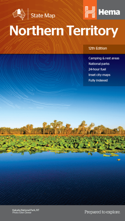
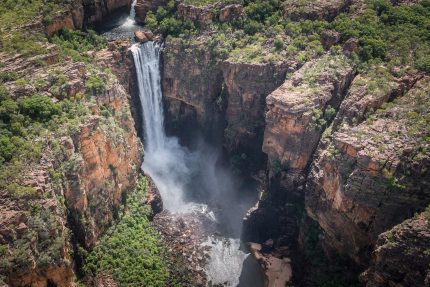
Hema Northern Territory State Map
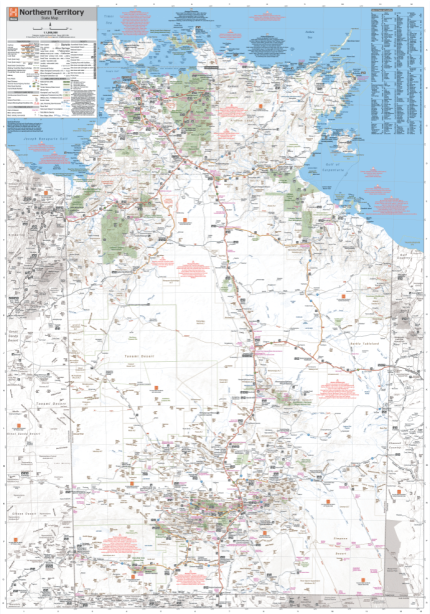
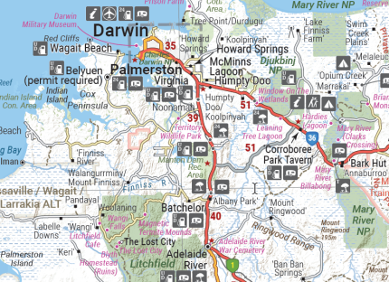
Hema Northern Territory Wall Map
Wall map of the Northern Territory featuring Hema’s customary mapping detail including National Parks, major road networks, and distances. Available in
Select options
This product has multiple variants. The options may be chosen on the product page

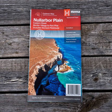
Hema Nullarbor Plain – Eastern Map – Border Village to Port Pirie


Hema Nullarbor Plain – Western Map – Kalgoorlie to Border Village

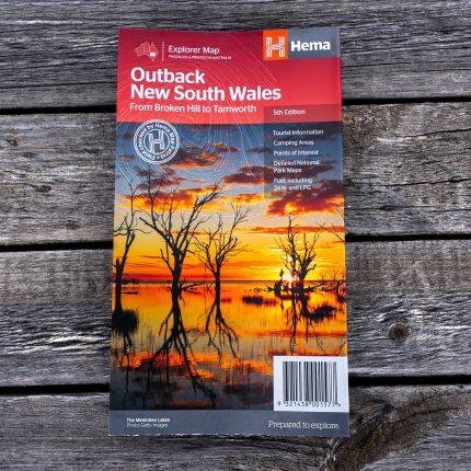
Hema Outback New South Wales Map
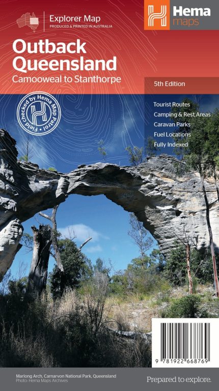
Hema Outback Queensland Map
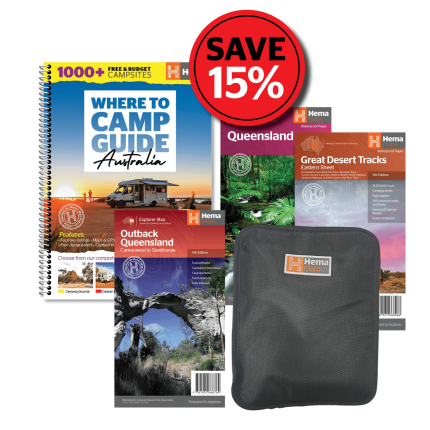
Hema Outback Queensland Mega Pack
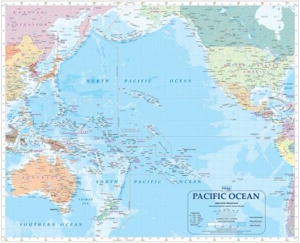
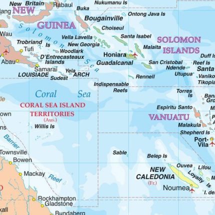
Hema Pacific Ocean Wall Map
Pacific Ocean Wall Map – Colourful wall map of the Pacific Ocean and surrounding countries (including USA, Mexico, Japan, China,
Select options
This product has multiple variants. The options may be chosen on the product page


Hema Papua New Guinea Map (4th edition)
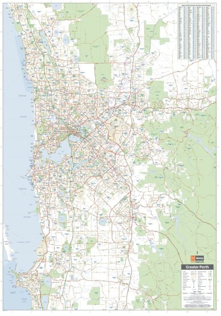
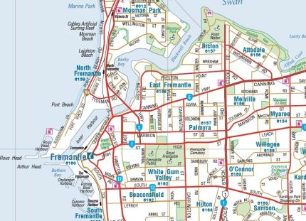
Hema Perth and Region Wall Map
A large wall map of Perth and its surrounding regions, featuring suburbs and postcodes, 24-hour fuel, camping areas, caravan parks and other
Select options
This product has multiple variants. The options may be chosen on the product page
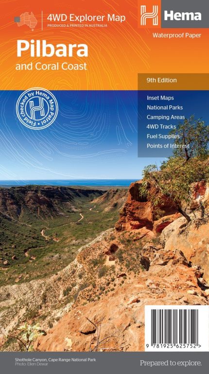
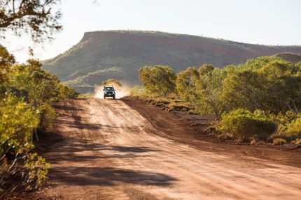
Hema Pilbara & Coral Coast Map
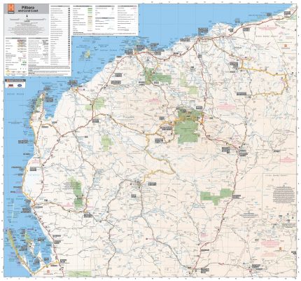
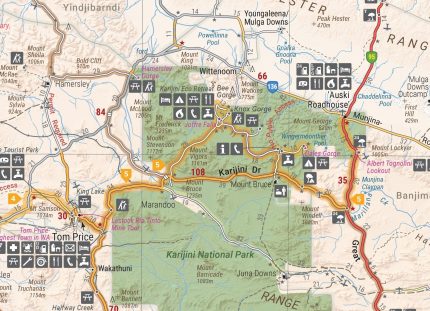
Hema Pilbara Wall Map
This large wall regional map of the Pilbara and Coral Coast is ideal for discovering the northern reaches of Western
Select options
This product has multiple variants. The options may be chosen on the product page